satellite observations
satellite observations at World Data Ocean is a file of 3 stories. The newest of them: “Refining temperature models where estuaries challenge satellite-based ocean intelligence”, “Validating tidal current models for ODYSEA satellite ocean insights”, and “Global Drifter Network Delivers Real-Time Ocean Data to Sharpen Forecasts and Coastal Safety”. Estuaries have long challenged satellite-based ocean intelligence, introducing systematic biases that undermine three‑dimensional temperature reconstructions. Validating tidal current models for the ODYSEA satellite mission demands precision, and this study delivers it. A Global Hub for Ocean Intelligence 4 World Data Ocean is a centralized digital platform where researchers, scientists, and ocean enthusiasts converge to… The list below is every satellite observations story on World Data Ocean, newest first.

Refining temperature models where estuaries challenge satellite-based ocean intelligence
Estuaries have long challenged satellite-based ocean intelligence, introducing systematic biases that undermine three‑dimensional temperature reconstructions. Our team developed a two‑stage residual fine‑tuning framework that corrects these errors using sparse in‑situ observations. The approach is elegant: a CBAM‑augmented model learns coastal patterns from hydrodynamic simulations, then a lightweight correction branch adjusts for real‑world deviations. Every monitored site saw measurable improvement. For deeper context on coastal ocean dynamics, see our related work on Taiwan Strait marine heatwaves.
Validating tidal current models for ODYSEA satellite ocean insights
Validating tidal current models for the ODYSEA satellite mission demands precision, and this study delivers it. MITgcm outputs were rigorously tested against 106 in-situ records from eight coastal regions, revealing mean RMSEs of 8.85 and 9.55 cm s⁻¹ for the dominant M2 and S2 constituents. While FES2022 shows smaller errors, MITgcm remains within the correct order of magnitude, proving its value for mission preparation. For related coastal dynamics, see our coverage of "Projected Climate Shifts Intensify Upwelling Along Southeast China Coast."
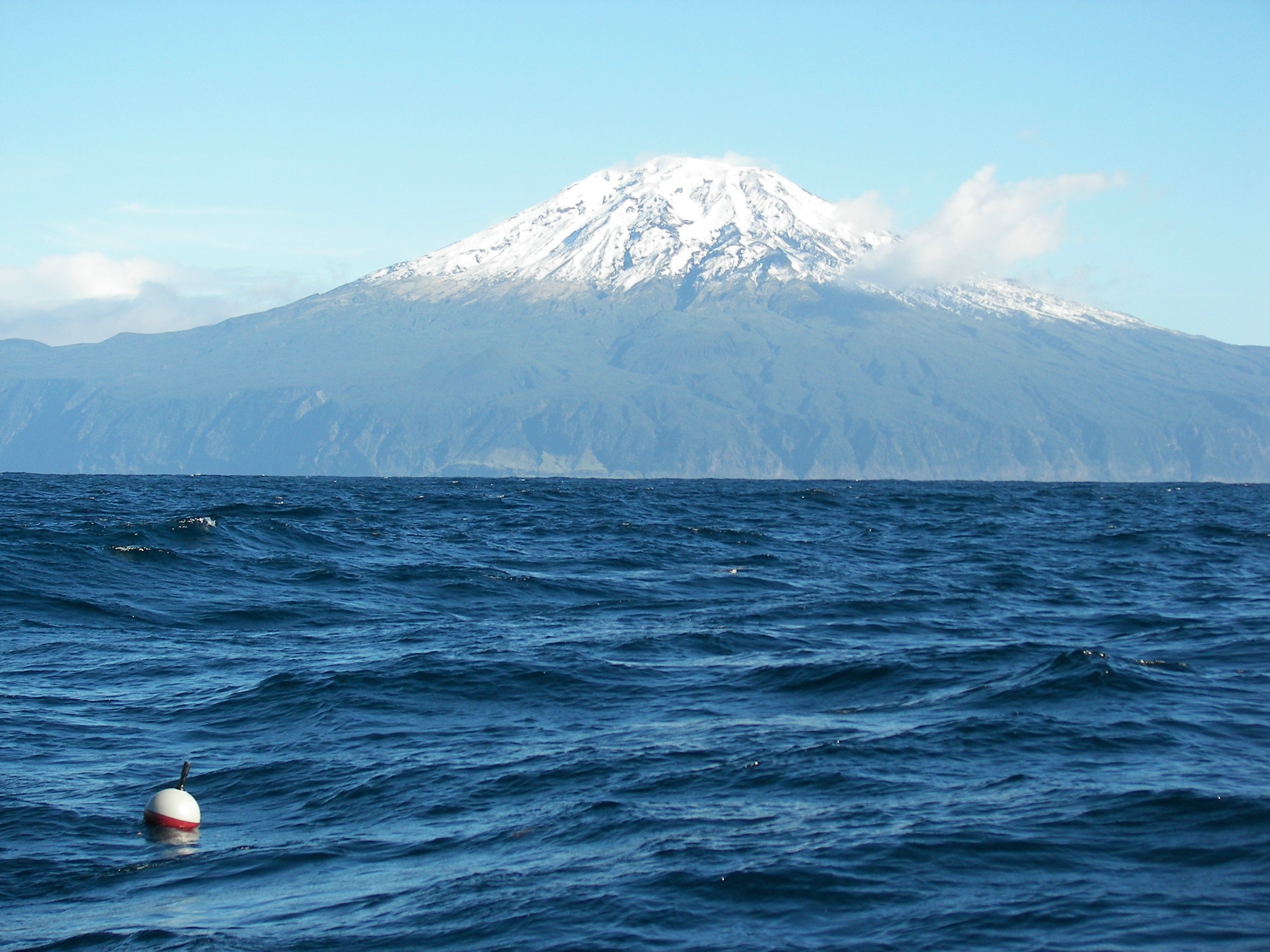
Global Drifter Network Delivers Real-Time Ocean Data to Sharpen Forecasts and Coastal Safety
Every twelve hours, a network of thousands of drifting buoys reports ocean temperature, currents, and barometric pressure from the most remote waters on Earth. NOAA's Global Drifter Program turns that distributed data into a single, calibrated view of the planet's climate system. These instruments verify weather models, sharpen satellite observations, and reveal inter-annual signals like ENSO. Understanding drives protection. For a deeper look at how shared ocean data standards support such systems, see our coverage of integrating fragmented bathymetric data.