Regulations
Regulations at World Data Ocean is a file of 3 stories. The newest of them: “Fishermen Halt Mediterranean Ports Amid Rising Fuel Costs, Geopolitical Tensions”, “Mapping Ocean Protection: A Global Database for Enhanced Stewardship”, and “AI-Powered Survey Compass Enhances Efficiency for Shipowners.”. French fishermen blockaded the ports of Nice and Sète, along with an oil depot in Frontignan, on Thursday, September 17, grounding their trawlers in a protest over soaring fuel costs and mounting geopolitical strain. Mapping Ocean Protection: A Global Database for Enhanced Stewardship - Navigator - a global database of verified marine protected and managed area regulations and boundaries Nature Protected areas only work when their… A Global Hub for Ocean Intelligence 4 World Data Ocean is a centralized digital platform where researchers, scientists, and ocean enthusiasts converge to… The list below is every Regulations story on World Data Ocean, newest first.
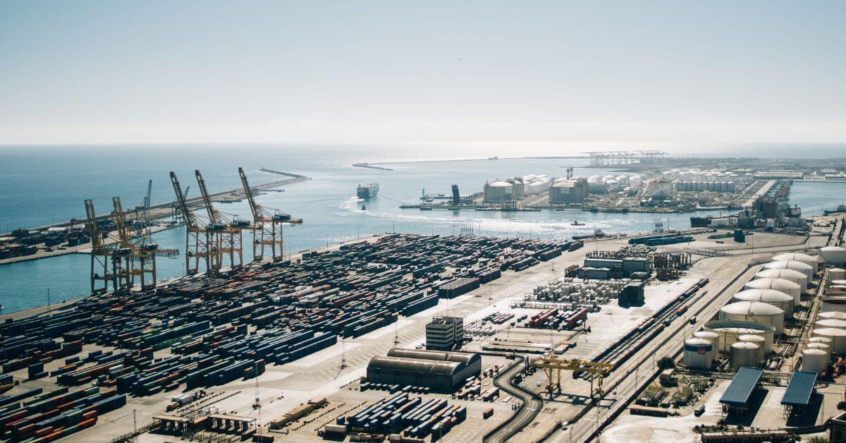
Fishermen Halt Mediterranean Ports Amid Rising Fuel Costs, Geopolitical Tensions
French fishermen blockaded the ports of Nice and Sète, along with an oil depot in Frontignan, on Thursday, September 17, grounding their trawlers in a protest over soaring fuel costs and mounting geopolitical strain. The action is a pointed reminder that maritime economies operate on a knife's edge, where diesel prices and international tensions converge. It is a measured, tactical standstill, not a spectacle.

Mapping Ocean Protection: A Global Database for Enhanced Stewardship
Mapping Ocean Protection: A Global Database for Enhanced Stewardship - Navigator - a global database of verified marine protected and managed area regulations and boundaries Nature Protected areas only work when their boundaries are clear and their rules are known. Navigator consolidates verified regulations and spatial data into a single, integrated ecosystem, turning fragmented oversight into measurable ocean intelligence. This is not abstract ambition; it is a practical tool for accountability.

AI-Powered Survey Compass Enhances Efficiency for Shipowners.
Classification surveys have long required shipowners to navigate dense regulatory detail with limited support. Survey Compass changes that equation. This AI assistant responds in natural language to survey-related questions, giving owners and ship managers a direct line to practical answers when they need them. The efficiency gain is measurable: less time spent searching, more time acting. It is a practical step toward smarter vessel operations. For related coverage, our report on Paradip Port's designation as a Mega Port offers another example of maritime infrastructure evolving.