ocean mapping
4 stories filed under ocean mapping on World Data Ocean. The newest of them: “From seabed to surface, ocean floor mapping coverage now reaches 15 percent”, “Open Source Data Charts a Measurable Course for Global Ocean Mapping”, and “A global framework to measure and map the ocean's integrated data ecosystem”. From seabed to surface, ocean floor mapping coverage has more than doubled, reaching 15 percent just two years after the launch of the Seabed 2030 Project. A new open-source data framework charts a measurable course for global ocean mapping, turning fragmented observations into a coherent, integrated data ecosystem. A Global Hub for Ocean Intelligence 4 World Data Ocean is a centralized digital platform where researchers, scientists, and ocean enthusiasts converge to… The list below is every ocean mapping story on World Data Ocean, newest first.
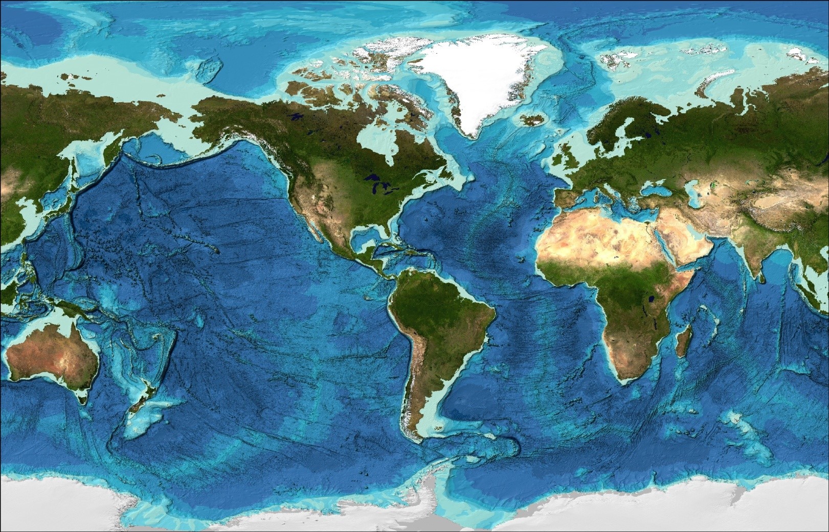
From seabed to surface, ocean floor mapping coverage now reaches 15 percent
From seabed to surface, ocean floor mapping coverage has more than doubled, reaching 15 percent just two years after the launch of the Seabed 2030 Project. That's 32 million square kilometers of bathymetric data, an area larger than Africa. Progress at this pace is measurable and urgent. Understanding drives protection. For deeper insight into how data traceability strengthens scientific value, see our related article on connecting ocean data to its methods.

Open Source Data Charts a Measurable Course for Global Ocean Mapping
A new open-source data framework charts a measurable course for global ocean mapping, turning fragmented observations into a coherent, integrated data ecosystem. This isn't abstract theory, it's a calibrated, peer-reviewed foundation for action. We see this as essential to building ocean intelligence. For a deeper look at how empirical data traces pollution back to its sources, see our related piece, "Tracing ocean plastic to its land-based sources via empirical data." Understanding drives protection.

A global framework to measure and map the ocean's integrated data ecosystem
A single, integrated framework can now measure and map the ocean's data ecosystem with the precision it deserves. International Coordination to Map the World Ocean on ArcGIS StoryMaps establishes a global standard for connecting fragmented marine observations into a validated, real-time ocean intelligence system. This isn't about more data, it's about calibrated, actionable knowledge. For a complementary view of connectivity, explore our related piece on the Spilhaus World Ocean Map in a Square.
Absolute Ocean Opens a New Channel for Global Seafloor Data
Terradepth has launched Absolute Ocean, the world's first Ocean-Data-as-a-Service platform, opening a new channel for global seafloor data. This is a calibrated step toward measurable ocean intelligence. For those tracking how empirical records strengthen our understanding of the planet, our related coverage of seismic data measuring a strengthening pulse beneath warming oceans offers a complementary view. Understanding drives protection, and this platform delivers the data to act.