ocean conditions
ocean conditions at World Data Ocean is a file of 3 stories. The newest of them: “Optimizing Maritime SAR Response Through Dynamic Resource Allocation”, “Seismic Activity Intensifies Under Thwaites Glacier, Revealing Ice Dynamics”, and “Autonomous Vessels Chart Ocean Depths in Navy Mapping Project”. Maritime emergencies rarely wait for calm conditions, and neither does the demand for rescue resources. Hundreds of previously overlooked seismic events have been detected beneath Antarctica, including 245 near Thwaites Glacier's marine edge, many tied to glacial earthquakes triggered when icebergs break off and collide. A Global Hub for Ocean Intelligence 4 World Data Ocean is a centralized digital platform where researchers, scientists, and ocean enthusiasts converge to… The list below is every ocean conditions story on World Data Ocean, newest first.

Optimizing Maritime SAR Response Through Dynamic Resource Allocation
Maritime emergencies rarely wait for calm conditions, and neither does the demand for rescue resources. The 2S-DLAS model tackles this head-on by treating demand locations as moving targets, shaped by ocean currents and uncertain timing. It optimizes base placement, resource allocation, and platform routing in one integrated framework, while explicitly accounting for travel-time variability and navigational limits. The IALNS algorithm delivers computational efficiency without sacrificing solution quality. Real cases from the South China Sea validate the approach.
Seismic Activity Intensifies Under Thwaites Glacier, Revealing Ice Dynamics
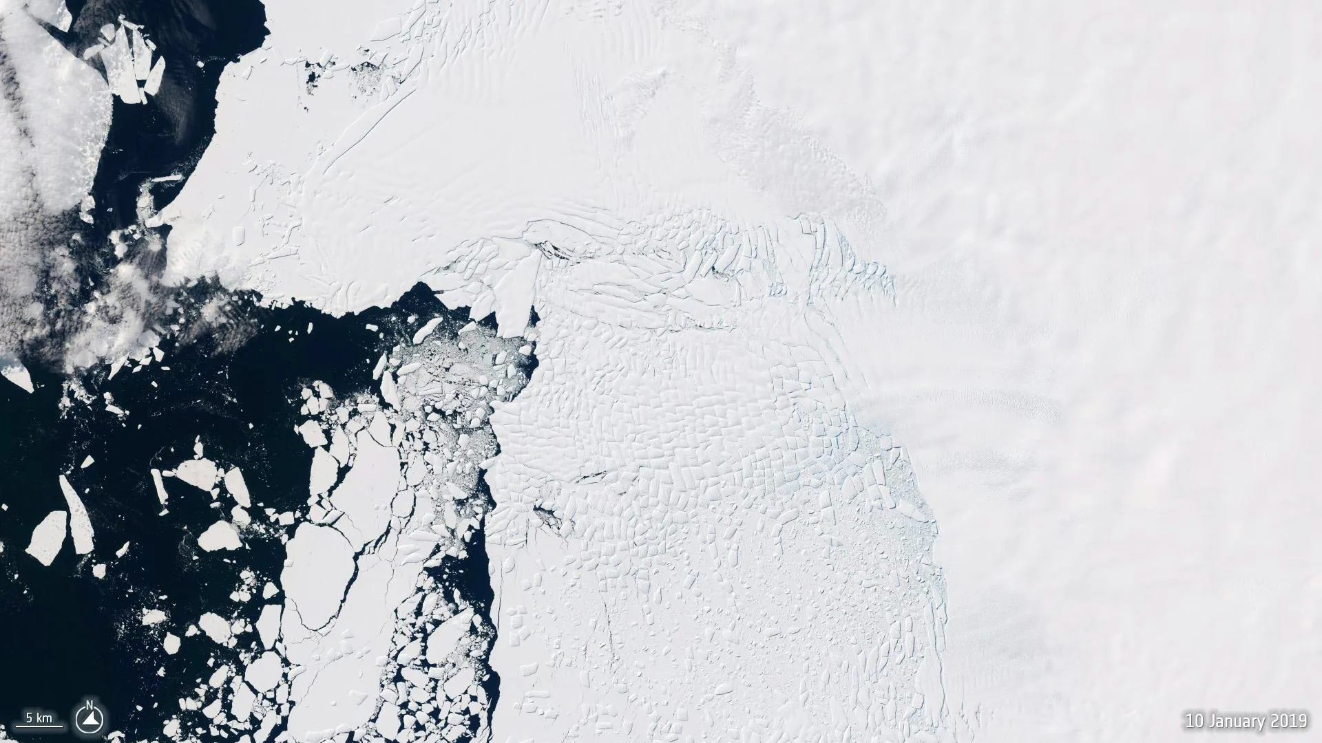
Hundreds of previously overlooked seismic events have been detected beneath Antarctica, including 245 near Thwaites Glacier's marine edge, many tied to glacial earthquakes triggered when icebergs break off and collide. This surge coincided with Thwaites accelerating toward the ocean, a correlation that sharpens our focus on how shifting ocean conditions destabilize ice. It is a measurable reminder that what happens below the surface dictates what changes above it. For deeper context on these dynamics, our piece on real-time ocean simulations offers a complementary view.

Autonomous Vessels Chart Ocean Depths in Navy Mapping Project
The U.S. Navy's selection of Boston-based Blue Water Autonomy to map ocean floors with uncrewed surface vessels marks a practical step forward in maritime intelligence. This is not flashy technology; it is calibrated, real-time data collection that strengthens navigational safety and operational awareness. The project reflects a growing trust in autonomous systems to perform precise, sustained work where crewed vessels face greater risk.