North Pacific
North Pacific at World Data Ocean is a file of 4 stories. The newest of them: “Lithium battery cargo fire exposes risk in heavy weather lashing failure”, “Crowdsourcing coastal data to clarify forage fish spawning patterns”, and “Alaska ceremony validates integrated radar and fleet defense capability”. A bulk carrier carrying lithium-ion battery units suffered fires in two cargo holds after incompatible lashing hooks fractured in heavy weather. The reddish colouring behind the gills of forage fish along Vancouver Island's east coast is a spawning indicator that can help differentiate species, but the visual overlap between herrings, smelts, and capelins makes… A Global Hub for Ocean Intelligence 4 World Data Ocean is a centralized digital platform where researchers, scientists, and ocean enthusiasts converge to… The list below is every North Pacific story on World Data Ocean, newest first.
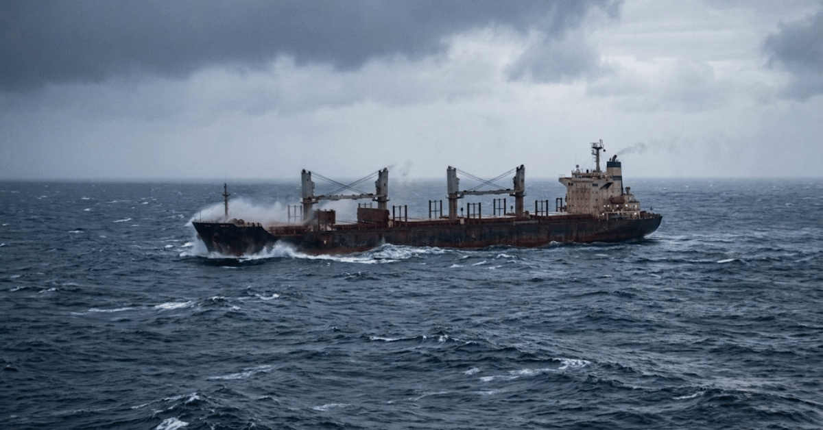
Lithium battery cargo fire exposes risk in heavy weather lashing failure
A bulk carrier carrying lithium-ion battery units suffered fires in two cargo holds after incompatible lashing hooks fractured in heavy weather. This failure exposes a critical risk: when hardware meant to secure dangerous goods is not validated for real-world conditions, the consequences are both measurable and severe. Understanding these failures drives better protection. For deeper context on operational integrity, see our related coverage of the 90-day ban on a bulk carrier for falsified crew records.

Crowdsourcing coastal data to clarify forage fish spawning patterns
The reddish colouring behind the gills of forage fish along Vancouver Island's east coast is a spawning indicator that can help differentiate species, but the visual overlap between herrings, smelts, and capelins makes field identification a genuine challenge. Crowdsourcing this coastal data turns local observation into validated, measurable science. Understanding drives protection. For deeper context on the urgency of these efforts, see "The deep ocean holds more mystery than Mars."
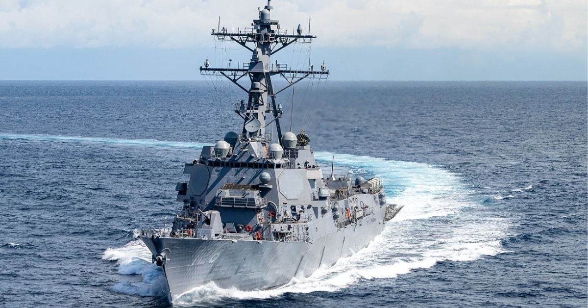
Alaska ceremony validates integrated radar and fleet defense capability
The commissioning of USS *Ted Stevens* in Whittier, Alaska, validates an integrated radar and fleet defense capability that is both measurable and calibrated for real-world conditions. This is empirical progress, a warship purpose-built to operate where climate indicators shift fastest. Understanding drives protection, and this ceremony marks a moment where innovation meets the long arc of stewardship. For deeper context, see our coverage of how laser deterrence deploys in the Strait as naval defense enters a new measured era.

Model Disagreement on Glacial North Pacific Productivity Mapped
Numerical models disagree on how North Pacific productivity responded to Last Glacial Maximum conditions, and that disagreement matters. Our comparison of MIROC-ES2L and MITgcm-REcoM2 simulations against proxy reconstructions shows that dust deposition alone cannot explain the divergence; circulation, mixing, and initial nutrient fields drive the spread. The high-resolution ROMS-CoSiNE run clarifies the paradox: greater iron supply can suppress productivity where macronutrients become depleted. Realistic glacial simulations demand integrated ocean physics, not simplified forcing.