marine debris
World Data Ocean keeps marine debris in one place: 11 stories so far. The section currently leads with “Seafloor sediment confirmed as a vast plastic pollution reservoir”, “From surface to seafloor, a calibrated global map of microplastic drift”, and “A thousand rivers drive eighty percent of ocean plastic emissions”. Seafloor sediment has been confirmed as a vast plastic pollution reservoir, according to a world-first study by the Commonwealth Scientific and Industrial Research Organisation. From surface to seafloor, this calibrated global map of microplastic drift transforms scattered data into measurable ocean intelligence. A Global Hub for Ocean Intelligence 4 World Data Ocean is a centralized digital platform where researchers, scientists, and ocean enthusiasts converge to… The list below is every marine debris story on World Data Ocean, newest first.
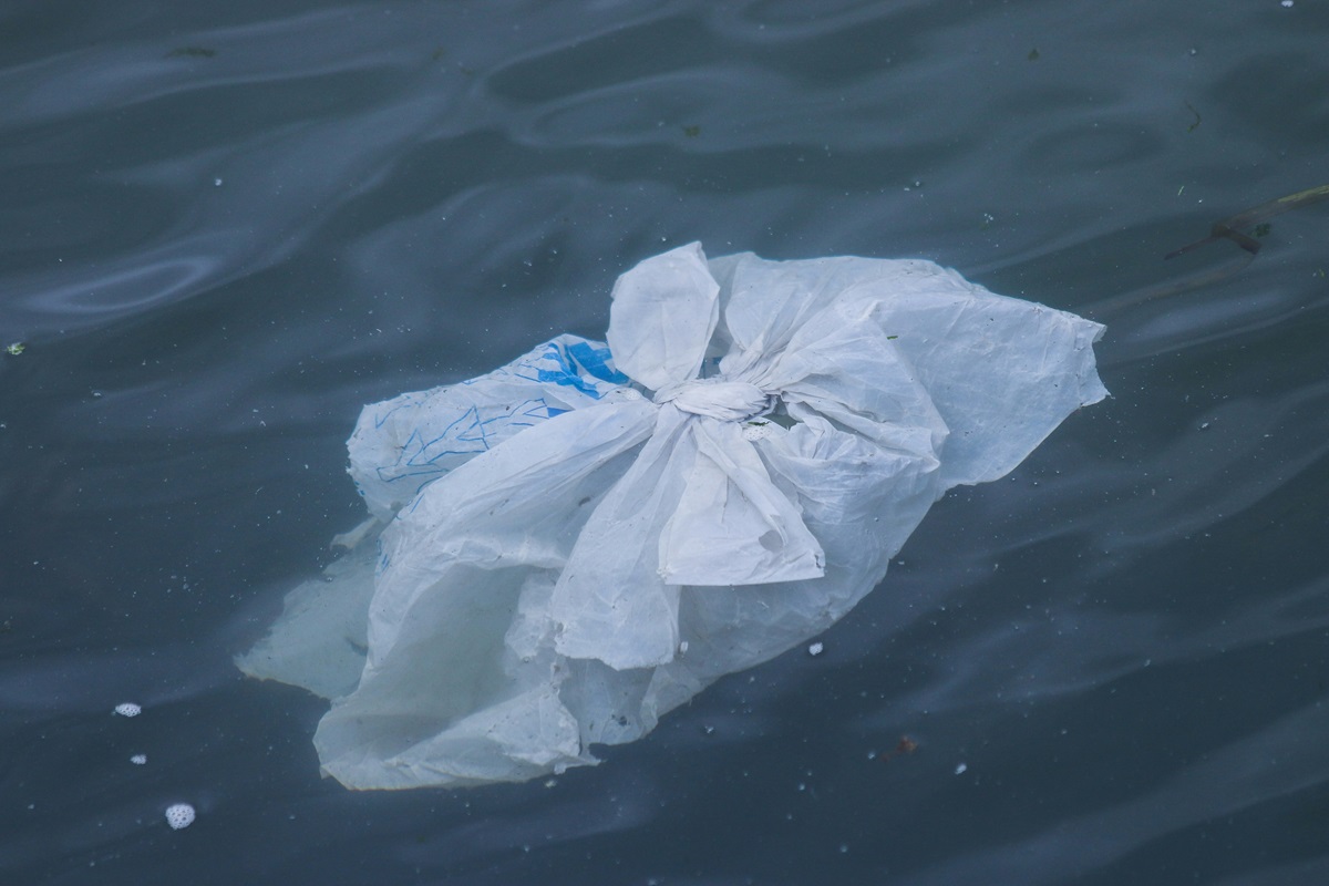
Seafloor sediment confirmed as a vast plastic pollution reservoir
Seafloor sediment has been confirmed as a vast plastic pollution reservoir, according to a world-first study by the Commonwealth Scientific and Industrial Research Organisation. This is not a surface problem, plastic is accumulating in the deep, where it becomes part of the geological record. The finding is a measurable, empirical signal of our impact. Understanding where plastic settles, from the seafloor to the Great Pacific Garbage Patch, is foundational to integrated ocean stewardship.

From surface to seafloor, a calibrated global map of microplastic drift
From surface to seafloor, this calibrated global map of microplastic drift transforms scattered data into measurable ocean intelligence. It is empirical, peer-reviewed, and urgently needed. Understanding where plastics accumulate, and where they travel, is the first step toward action. For deeper context on the sources feeding this crisis, see our related coverage of how more than 1,000 rivers drive 80% of ocean plastic emissions. Protection begins with precision.
A thousand rivers drive eighty percent of ocean plastic emissions
A thousand rivers drive eighty percent of ocean plastic emissions, a finding that demands a calibrated, not alarmist, response. This is not about panic; it is about measurable action. Understanding the source of the problem allows us to target interventions where they matter most. For deeper context on how disclosure transforms data into accountability, see our related coverage, "Closing the data gap: disclosure as a calibrated step toward ocean action." Precision, not hype, guides real protection.

AI models and integrated data track shoreline debris at scale
Every piece of plastic on a beach tells a story, and now AI is reading that story at scale. By integrating real-time data streams with machine learning, we can track shoreline debris across vast coastlines, transforming scattered observations into validated, actionable ocean intelligence. This isn't just cleanup; it's empirical calibration of a global problem. For deeper context on how integrated data ecosystems make this possible, explore our coverage of Apeiron Labs' recent Series A to scale their ocean data platform.
Tracing ocean plastic to its land-based sources via empirical data
Every river is a potential pipeline. Our latest analysis, grounded in empirical data, traces ocean plastic back to its land-based origins. The evidence is clear: mismanaged waste from coastal populations is the primary driver. This is not guesswork; it is a measurable, validated flow. Understanding this pathway is the first step toward intervention. For deeper insight into where these plastics ultimately settle, see our related piece, "From surface to seafloor, a calibrated global map of microplastic drift.
New data validates fishing gear as the primary source of Pacific plastic
New data validates what many have long suspected: fishing gear is the primary source of plastic in the Great Pacific Garbage Patch. This is not a problem of straws and bags, but of industrial scale. Measurable, peer-reviewed evidence now points directly to the fishing industry. Understanding drives protection. For deeper context on how we track these accumulating pollutants alongside climate indicators, explore our coverage of "Mapping Ocean Plastic Accumulation to Future Climate Indicators." The ocean demands empirical solutions, not alarm.

Africa's first permanent ocean observatory closes a critical data gap for science and policy
Twenty-two million measurements. That is the scale of what the Bazaruto Center for Scientific Studies and Kisawa Sanctuary have built off Mozambique's coast. Africa's first permanent ocean observatory is not a small pilot project; it is a multi-ecosystem platform covering 6,850 square kilometers, generating high-frequency data across coral, seagrass, and open-ocean habitats. The numbers are impressive, but the real achievement is showing how a Resort-to-Research model can sustain serious science.
Quantum-Enhanced AI Improves Marine Debris Detection for Ocean Health
A precision of 93.7% in detecting marine debris under real-world conditions is a measurable step forward. This hybrid quantum-inspired framework doesn't just improve recall, it proves that integrating angle encoding with YOLOv8 can cut through low visibility and underwater haze. We see this as empirical validation that quantum-enhanced feature transformations strengthen environmental monitoring. For deeper context on cross-boundary ocean governance, readers may consult our related piece, "Harmonizing Marine Governance: A Framework for the Greater Bay Area."
Mapping the Seafloor: Detecting Ghost Nets with Side-Scan Sonar
A single sonar ping can reveal a tangled net resting on the seafloor, but telling it apart from a rock or a reef is where the real work begins. Oceanographers still guide much of the detection process manually, interpreting acoustic returns frame by frame. Ghost nets are difficult to classify because their shape and density vary with depth, current, and decay. Side-scan sonar offers a clear image, yet the final call often rests on human judgment.
Maintaining Reliable Underwater Object Detection Amidst Challenging Conditions
Underwater vision systems rarely fail gracefully; they fail when clarity drops. Turbidity, color loss, and weak boundaries degrade the encoder features that RT-DETR-style detectors rely on to rank and initialize decoder queries. DQR-RTDETR confronts this directly, introducing a Candidate Reliability Prior to estimate trustworthiness from encoder memory, then recalibrating top-K scores and selected-query features with Stability-Preserving Query Reliability Recalibration. The results are measurable: mAP@0.5:0.95 rises from 0.6998 to 0.7444 on SeaClear, with only 0.05 million added parameters. This is a compact
Tracking Plastic's Reach: Ocean Intelligence from Remote Waters.
Plastic debris doesn't stay where we drop it. New tracking from remote waters shows how far it travels, and the data is telling a clearer story than ever before. This kind of ocean intelligence turns scattered observations into something measurable, something we can act on. It's a reminder that the problem isn't out of sight, just out of sightlines. For readers drawn to the unseen, our piece on unidentified marine life offers a complementary glimpse into what else moves beneath the surface.