coastal erosion
World Data Ocean keeps coastal erosion in one place: 5 stories so far. The section currently leads with “Seismic records measure a strengthening pulse beneath warming oceans”, “Long-Lasting Baltic Storm Surge Highlights Coastal Vulnerability in 2009”, and “Ghana's Central Coast: Erosion Threatens Ecosystem Services and Livelihoods”. A strengthening pulse beneath warming oceans is now measurable through seismic records. In October 2009, the Wimar storm surge pinned the southern Baltic coast under an unusually prolonged NE wind event, driving water levels 2.5 m above mean sea level. A Global Hub for Ocean Intelligence 4 World Data Ocean is a centralized digital platform where researchers, scientists, and ocean enthusiasts converge to… The list below is every coastal erosion story on World Data Ocean, newest first.
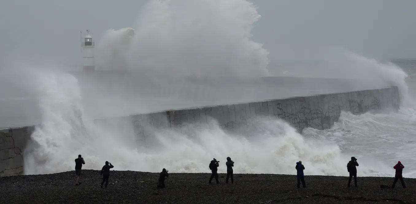
Seismic records measure a strengthening pulse beneath warming oceans
A strengthening pulse beneath warming oceans is now measurable through seismic records. These readings confirm that ocean waves are gaining force as the planet warms, a direct, empirical signal of climate change. We do not need to imagine the impact; the data speaks. This is not speculation. It is calibrated observation. For deeper context on why such monitoring matters, see our coverage of the proposed US cuts that risk losing this calibrated ocean intelligence. Understanding drives protection.

Long-Lasting Baltic Storm Surge Highlights Coastal Vulnerability in 2009
In October 2009, the Wimar storm surge pinned the southern Baltic coast under an unusually prolonged NE wind event, driving water levels 2.5 m above mean sea level. The result was extensive inundation and a mean dune retreat of 3.3 m, with maximum erosion reaching 8 m. This study shows that beaches sitting lower than the run-up level offered little defence. The lesson is clear: duration matters as much as intensity.
Ghana's Central Coast: Erosion Threatens Ecosystem Services and Livelihoods
Ghana's central coastline is retreating at a measured but persistent pace, with erosion rates averaging nearly two meters per year. That is not abstract data; it is the foundation of fisheries, tourism, and community stability. Our analysis of satellite imagery from 2000 to 2024 confirms erosion hotspots near Anomabo, Apam, and Winneba, while protected stretches hold their ground. This study underscores the need for site-specific interventions, not broad strokes.
Coastal Legacy: Documenting Abandonment and Change in North Sulawesi.
Abandoned structures along North Sulawesi's coastline tell a quiet story of shifting shores and human retreat. This documentation captures what remains as communities adapt to a changing sea, offering a measurable record of erosion and neglect. It is not a eulogy but a baseline, essential for future climate indicators. For a broader view of maritime challenges, our coverage of the bulk carrier freed near Gladstone, Australia, shows how coastlines test both infrastructure and patience. Understanding drives protection, and this work delivers that understanding.
Pakistan's Coast: Balancing Livelihoods, Biodiversity, and Sustainable Ocean Management
Pakistan's 1,046 km Arabian Sea coastline sustains over 1.5 million livelihoods, yet it now bears the weight of untreated sewage, industrial waste, and accelerating coastal erosion. This study's composite SDG 14 score of 4 out of 20 underscores a stark reality: legal commitments remain unmet, even as binding obligations under UNCLOS and MARPOL hold firm. The proposed National Marine Protection Act offers a calibrated path forward, one grounded in evidence rather than alarm.