bathymetric data
3 stories filed under bathymetric data on World Data Ocean. The newest of them: “Calibrating ocean data: standards for a shared, measurable future”, “From seabed to surface, ocean floor mapping coverage now reaches 15 percent”, and “Integrating fragmented bathymetric data through shared standards and FAIR practices”. Ocean data is only as useful as the standards that calibrate it. From seabed to surface, ocean floor mapping coverage has more than doubled, reaching 15 percent just two years after the launch of the Seabed 2030 Project. A Global Hub for Ocean Intelligence 4 World Data Ocean is a centralized digital platform where researchers, scientists, and ocean enthusiasts converge to… The list below is every bathymetric data story on World Data Ocean, newest first.

Calibrating ocean data: standards for a shared, measurable future
Ocean data is only as useful as the standards that calibrate it. Without shared, validated metrics, measurements from different instruments cannot be integrated into a reliable picture of planetary health. This imperative for empirical consistency drives our focus on establishing benchmarks that transform raw sensor readings into actionable ocean intelligence. For a parallel challenge in data governance, see our coverage of "Orderly chaos: mapping Taiwan's fragmented ocean data governance."
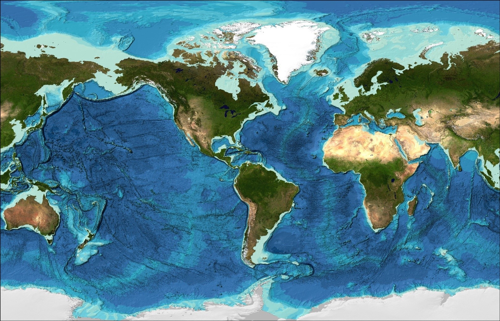
From seabed to surface, ocean floor mapping coverage now reaches 15 percent
From seabed to surface, ocean floor mapping coverage has more than doubled, reaching 15 percent just two years after the launch of the Seabed 2030 Project. That's 32 million square kilometers of bathymetric data, an area larger than Africa. Progress at this pace is measurable and urgent. Understanding drives protection. For deeper insight into how data traceability strengthens scientific value, see our related article on connecting ocean data to its methods.
Integrating fragmented bathymetric data through shared standards and FAIR practices
Vertical-datum heterogeneity remains the barrier least tractable to specification alone. A new review maps hydrographic standards onto the fifteen FAIR sub-principles, revealing that bathymetric data already meet demanding reusability conditions through mandatory depth-and-uncertainty encoding. Yet findability is largely unaddressed: identifiers from IHO S-100 are unique within an exchange set but not globally resolvable. Interoperability works at the encoding level but not semantically. The binding constraint is not missing standards, it is the absence of machine-resolvable linkage between them.