autonomous navigation
autonomous navigation at World Data Ocean is a file of 4 stories. The newest of them: “4500-Meter Autonomous Robot Extends South China Sea Observation Reach”, “Mapping American Samoa's Depths: An Exploration of Ocean Intelligence.”, and “Autonomous Robot Navigates Hazardous Shipboard Environments for Enhanced Safety”. China's new autonomous robot operates at depths of 4,500 meters, extending our observational reach into the South China Sea. Beneath the waves of American Samoa lies a terrain as uncharted as it is vital, and this latest expedition turns raw data into actionable insight. A Global Hub for Ocean Intelligence 4 World Data Ocean is a centralized digital platform where researchers, scientists, and ocean enthusiasts converge to… The list below is every autonomous navigation story on World Data Ocean, newest first.
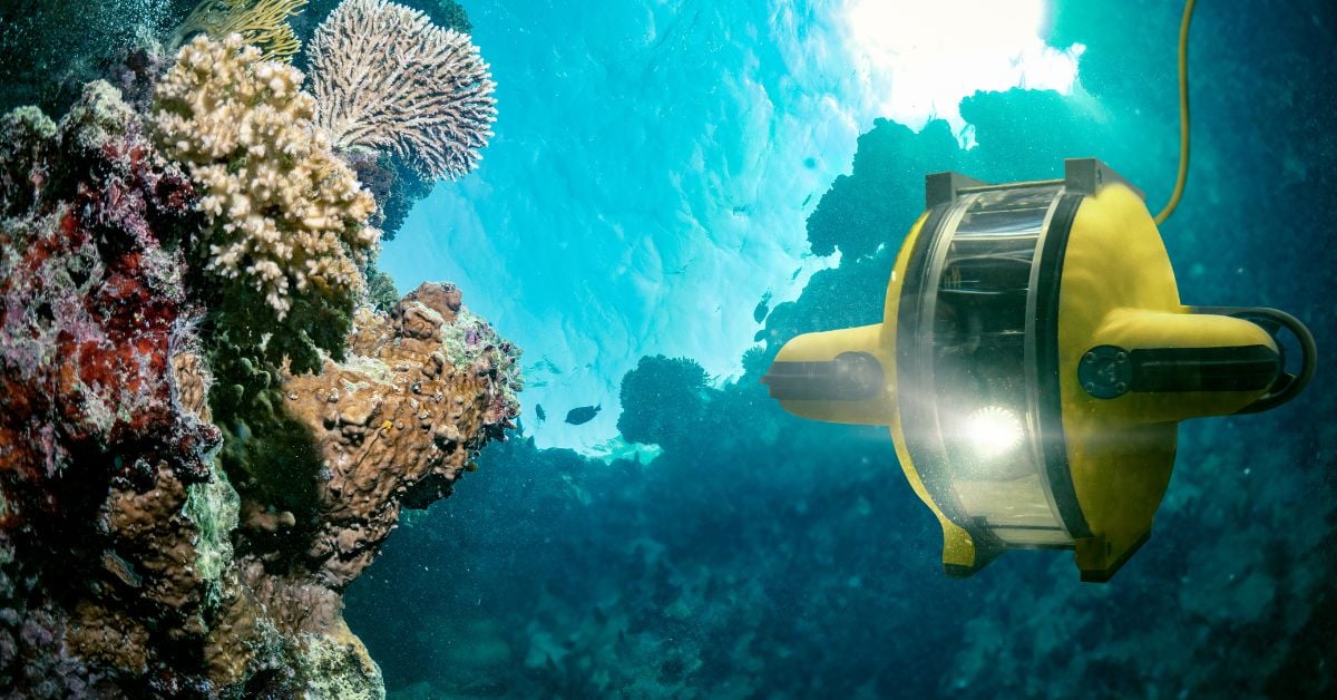
4500-Meter Autonomous Robot Extends South China Sea Observation Reach
China's new autonomous robot operates at depths of 4,500 meters, extending our observational reach into the South China Sea. This is measurable progress, empirical, validated engineering that adds real-time data from a region critical to climate indicators. The robot doesn't alarm; it informs. Understanding drives protection. For deeper context on naval ocean intelligence, see our coverage of the second U212NFS submarine's keel-laying. From the ocean floor to the surface, the integrated data ecosystem grows.
Mapping American Samoa's Depths: An Exploration of Ocean Intelligence.
Beneath the waves of American Samoa lies a terrain as uncharted as it is vital, and this latest expedition turns raw data into actionable insight. We're encouraged by how this work transforms seabed mapping into a tool for stewardship, not just discovery. It's precise, purposeful, and exactly the kind of empirical effort our shared ocean future demands.

Autonomous Robot Navigates Hazardous Shipboard Environments for Enhanced Safety
A mobile robot just proved it can navigate one of the most unforgiving environments on Earth: a working ship at sea. Hyundai Motor and Kia tested their MobED platform aboard the multipurpose vessel HYUNDAI DUBAI, and the demonstration signals a measured step toward automating hazardous onboard inspections. This is practical ocean intelligence, not speculative tech. For context on why such navigation matters, our report on the bulk carrier freed near Gladstone reminds us how quickly maritime operations can turn volatile.
Exploring the Cook Islands Depths: A 2026 ROV Mission.
In early 2026, an ROV mission will descend into the waters surrounding the Cook Islands, where the seafloor remains largely uncharted. This is the kind of methodical, empirical work that turns raw data into ocean intelligence. By capturing validated, real-time imagery from the depths, the mission strengthens the integrated data ecosystem that researchers and policymakers rely on. For those tracking how these efforts connect, our piece on NOAA's calibrated ocean intelligence offers useful context. Understanding drives protection, and this expedition brings us closer to both.