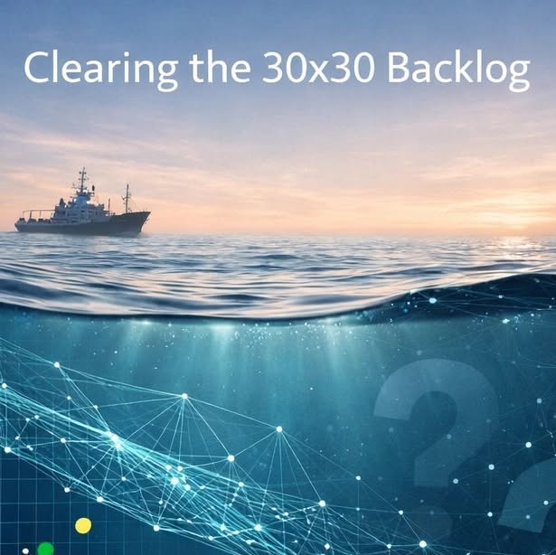
30x30 means protecting 30% of the ocean by 2030. The goal is clear. The bottleneck is not ambition, it’s coverage: data ...
Our take
The 30x30 target—protecting 30 % of the ocean by 2030—has long been a rallying cry for conservationists, policymakers, and the scientific community. Yet the most stubborn obstacle is not the ambition itself but the coverage gaps that persist across biodiversity, habitat, and human activity datasets. The article highlights how artificial intelligence can accelerate the mapping of evidence strength, enabling decisions grounded in validated, measurable data. For those of us working at the intersection of marine science and policy, this is a pivotal moment. It reminds us that the path to 30x30 must be paved with integrated data ecosystems that can keep pace with the scale of the ocean. The same urgency that drives the protection of coral reefs and fisheries also fuels research on how jetty construction reshapes hydrodynamics and seabed morphology, as detailed in Impacts of jetty construction on hydrodynamics, seabed morphology and marine ecology: a case study of Tongzhou Bay, Nantong, China. Likewise, understanding how nutrient enrichment from agricultural runoff influences fish health—illustrated in Modulation of growth, blood physiology, disease resistance, molecular immune-antioxidant gene expression, and tissue integrity in european seabass (Dicentrarchus labrax) fed Moringa oleifera flower-enriched diets—provides essential context for prioritizing marine protected areas. Integrating such peer‑reviewed findings into a real‑time, AI‑driven workflow is the linchpin that turns ambition into actionable stewardship.
The bottleneck identified in the article is a familiar pattern across marine datasets: data are plentiful in some regions but sparse in others, and the manual labor required to validate, label, and analyze imagery or acoustic signals is simply unsustainable at the scale of global ocean governance. AI offers a calibrated solution by automating wildlife recognition, expediting image review, and flagging under‑sampled zones for targeted surveys. This rapid feedback loop transforms the data lifecycle from a slow, incremental process into a dynamic, responsive system. Consequently, policymakers can base marine spatial planning on longitudinal, empirical evidence rather than on proxy indicators or anecdotal reports. In practice, this means that a newly identified critical habitat for a threatened species can be incorporated into a marine protected area design within weeks, rather than months or years, thereby tightening the feedback between science and policy.
Beyond the logistics of data management, the broader significance lies in the shift toward a more inclusive, collaborative ocean intelligence framework. By making high‑resolution, validated datasets openly available, we empower a diverse cohort—researchers, indigenous communities, coastal managers—to participate in stewardship. The article’s call to identify the most frequent data gaps—whether in biodiversity, habitat maps, or human activity—highlights a critical conversation about equity in data ownership and access. If the gaps are not addressed, the very communities most affected by ocean degradation may remain voiceless in decision‑making processes. Thus, the deployment of AI is not merely a technical upgrade; it is a democratizing force that aligns with the global, collaborative ethos underpinning 30x30.
Looking ahead, the integration of AI‑enabled data pipelines will inevitably reshape the metrics we use to evaluate progress toward 30x30. Instead of relying on static coverage percentages, we will track the quality, granularity, and timeliness of data across key indicators such as species distribution, habitat health, and anthropogenic pressure. This shift will allow us to detect emerging threats—like the spread of biofouled microplastics affecting lipid dynamics in juvenile copepods, as explored in Biofouled microplastics exposure is associated with shifts in late‑summer lipid dynamics of juvenile copepod Calanus hyperboreus—earlier and respond with precision. The question we must keep watching is how quickly the global community can transition from data scarcity to data sufficiency, and whether the pace of technological adoption will keep up with the urgency of ocean stewardship.

Read on the original site
Open the publisher's page for the full experience