autonomous vessels
World Data Ocean keeps autonomous vessels in one place: 3 stories so far. The section currently leads with “Validating Autonomous Navigation With a Real-Time Maritime Digital Twin”, “Autonomous Vessel Launches Fleet for Ocean Data Collection.”, and “Autonomous Vessels Chart Ocean Depths in Navy Mapping Project”. A real-time digital twin called SEANAV lets researchers validate autonomous navigation without leaving the lab. One autonomous vessel has proven it can serve as a mobile command hub, deploying and supporting multiple autonomous assets during a single mission. A Global Hub for Ocean Intelligence 4 World Data Ocean is a centralized digital platform where researchers, scientists, and ocean enthusiasts converge to… The list below is every autonomous vessels story on World Data Ocean, newest first.
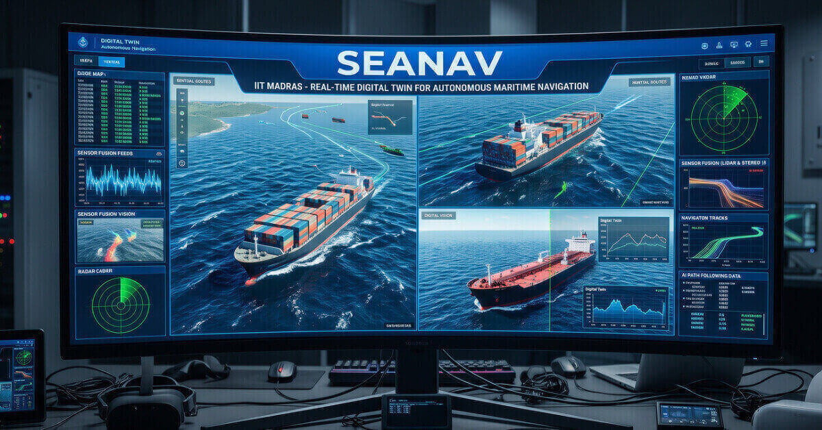
Validating Autonomous Navigation With a Real-Time Maritime Digital Twin
A real-time digital twin called SEANAV lets researchers validate autonomous navigation without leaving the lab. Developed at IIT Madras, this integrated platform simulates realistic maritime environments for testing and training. That is measurable progress toward safer, smarter shipping. Understanding drives protection. Our coverage of rerouting ships to avoid whale sharks, requiring less than one percent extra fuel, shows how such innovations align operational efficiency with ocean stewardship.

Autonomous Vessel Launches Fleet for Ocean Data Collection.
One autonomous vessel has proven it can serve as a mobile command hub, deploying and supporting multiple autonomous assets during a single mission. The trial demonstrates a practical step toward scalable ocean data collection, where one platform coordinates a fleet of instruments in real time. This is the kind of integrated capability that turns raw marine data into actionable intelligence. For more on related maritime innovation, our coverage of the Indian Navy's ORV Sagar Manthan offers useful context.

Autonomous Vessels Chart Ocean Depths in Navy Mapping Project
The U.S. Navy's selection of Boston-based Blue Water Autonomy to map ocean floors with uncrewed surface vessels marks a practical step forward in maritime intelligence. This is not flashy technology; it is calibrated, real-time data collection that strengthens navigational safety and operational awareness. The project reflects a growing trust in autonomous systems to perform precise, sustained work where crewed vessels face greater risk.